Montemayor Gas Lease
.png)
A gas lease located 10 miles Southeast of the city of San Diego, Texas.
Short history note
The Montemayor gas lease, with its "Starr Brite, West" field, is on the Duval-Jim Wells fairway, having thin but continuous sandstone and little expansion of section.
This southernmost fairway lies between Sejita dome in southeasternmost Duval County and the Orange Grove area of northeastern Jim Wells County.
In this area, thin sandstone of Upper Yegua and Lower Yegua age, which are continuous over most of the fairway represent the downdip edge of the wave-dominated delta system defined to the northwest. Growth faults in this area have only a slight effect on sandstone development or interval expansion; they may be reactivations of older, as the Queen City structures.
The fairway was first recognized as a significant gas trend in the late 1970s, with discovery of Alice Deep field and the ASOG-Palito Blanco complex, both of which were overpressured and yielded excellent tests. The Sejita field to the south has produced Yegua gas for some time, but was normally pressured. Subsequent drilling has tested gas both to the north (Caro Creek, Muerto Creek, Muy Solo) and south (Jaboncillos, Orcones, Glasscock Ranch) of the ASOG field complex which has been extended updip into the Four Sevens and "Starr Brite, West" fields.
Number of Acreas
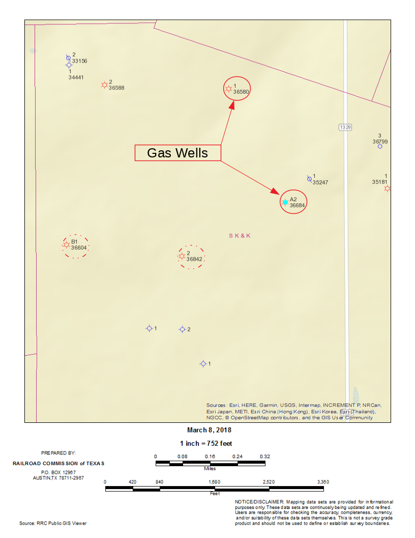
The Montemayor gas lease lays on 160 acres of land. The Railroad Commission of Texas approved on June 1st, 1984, the new designation of this gas field as the "Starr Brite, West (7080’ Yegua) Field".
The Montemayor gas field has two gas wells; gas well No. A2 with a total depth of 7,800 feet and gas well No. A1 with a total depth of 7,800 feet as shown in Figure below.